
2018-06-15T145335Z_2_LYNXMPEE5E15U_RTROPTP_2_USA-WILDFIRES.JPG.cf
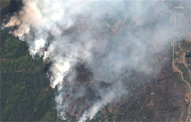
A satellite image shows the 416 Wildfire burning west of Highway 550 and northwest of Hermosa, Colorado, U.S., June 10, 2018. Image captured June 10, 2018. Satellite image ©2018 DigitalGlobe, a Maxar company /Handout via REUTERS
Be the first to comment